- Cart - 0 items
Cart is Empty.

$153.86
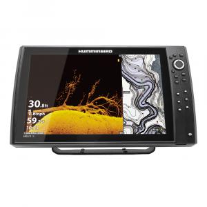
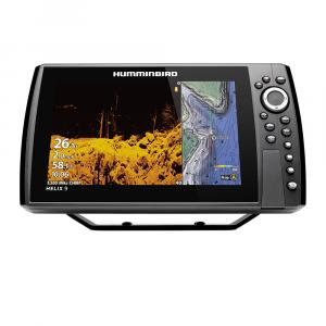
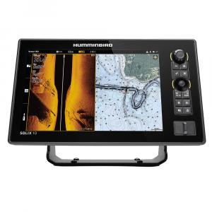
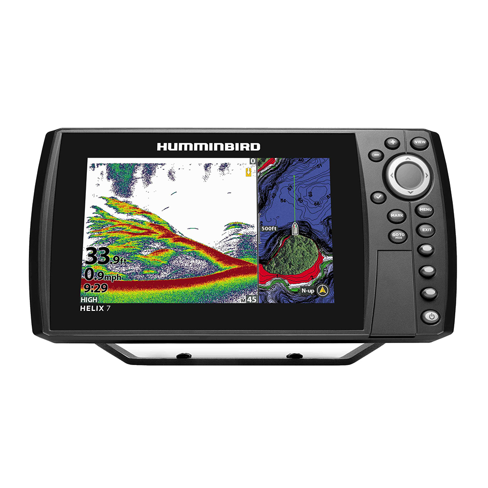
LakeMaster VX Premium - Western States Edition
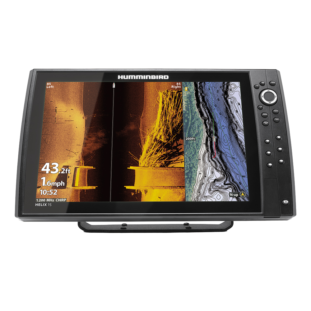
Experience an enhanced mapping solution with the Humminbird LakeMaster VX Premium tailored for the Western States. Built for anglers looking to gain a deeper understanding of underwater terrains, this premium mapping tool leverages advanced VX Technology.
The Humminbird LakeMaster maps have a longstanding reputation for accuracy, crafted by expert GIS analyst cartographers. With VX Technology, these maps now boast richer detail, featuring new customizable color palettes, superior map performance, and an impressive array of functionalities.
The LakeMaster line accommodates the same regions as before while offering two selections for each: LakeMaster and LakeMaster Premium. Both options feature SmartStrike technology, which allows users to input variables such as season, time of day, temperature, and target fish species to generate personalized charts revealing optimal fishing locations. Additionally, customizable Chart Presets, Depth Highlight, Shallow Water Highlight, Water Level Offset, and One-Boat Network compatibility enhance the fishing experience. LakeMaster Premium also includes two advanced features: 2D Shaded Relief and Aerial Imagery.
As the authoritative map for anglers, LakeMaster ensures that what you see is a true representation of the lake bottom. With the introduction of VX Technology, Humminbird LakeMaster firmly maintains its position as the leading provider of precise and detailed fishing mapping.
Humminbird LakeMaster® VX Premium - Western States
Related Products

Copyright © TechBuys All Rights Reserved.


