- Cart - 0 items
Cart is Empty.
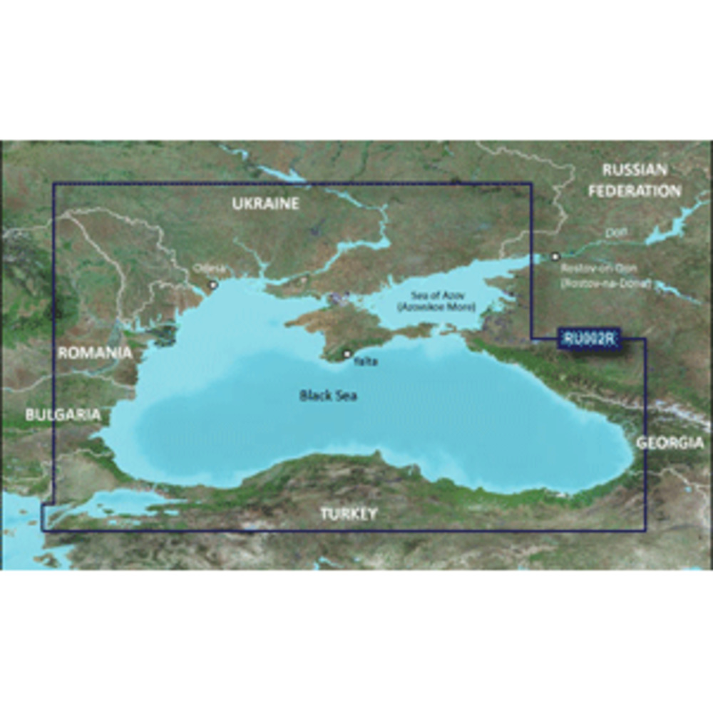
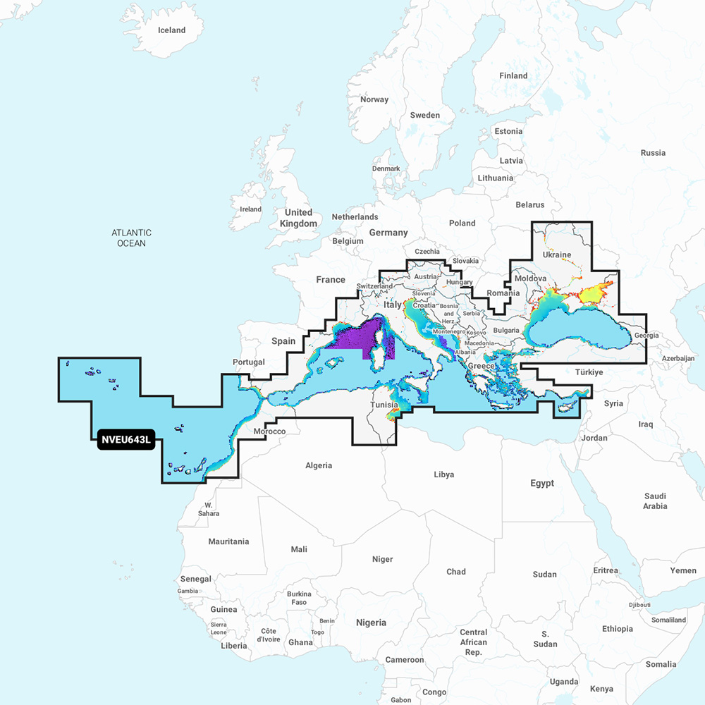
BlueChart® g3 HD - HXRU002R - Black Sea & Azov Sea - microSD™/SD™
Coverage:
Coverage of the Dardanelles, the Sea of Mamara, the Bosporus, the Black Sea, the Dnieper River as far as Kherson, the Bug River as far as Nikolayev and the Sea of Azov. Detailed coverage includes Burgas and Varna, Bulgaria; Constanta, Romania; Odessa, Nikolayev, Kherson, Sevastopol', Kerch' and Mariupol, Ukraine; Taganrog, Yeysk, Temryuk, Novorossiysk, Potiand Batumi, Russia; Hopa, Giresun, Samsun ,Zonguldak, Eregli, Istanbul, Bandirma and Canakkale, Turkey.
Unparalleled Coastal Chart Coverage
$115.74
BlueChart® g3 HD - HXRU002R - Black Sea & Azov Sea - microSD™/SD™
Coverage:
Coverage of the Dardanelles, the Sea of Mamara, the Bosporus, the Black Sea, the Dnieper River as far as Kherson, the Bug River as far as Nikolayev and the Sea of Azov. Detailed coverage includes Burgas and Varna, Bulgaria; Constanta, Romania; Odessa, Nikolayev, Kherson, Sevastopol', Kerch' and Mariupol, Ukraine; Taganrog, Yeysk, Temryuk, Novorossiysk, Potiand Batumi, Russia; Hopa, Giresun, Samsun ,Zonguldak, Eregli, Istanbul, Bandirma and Canakkale, Turkey.
Unparalleled Coastal Chart Coverage
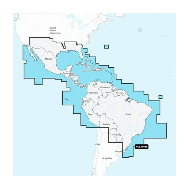
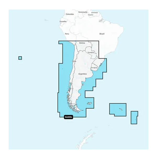
Related Products
Copyright © TechBuys All Rights Reserved.