- Cart - 0 items
Cart is Empty.
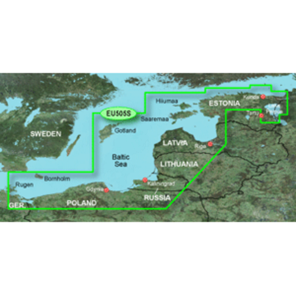
BlueChart® g2 HD - HXEU065R - Baltic Sea East Coast - microSD™/SD™
Coverage:
Coverage of the coasts of the Estonia, Latvia, Lithuania, Russia, and Poland from Narva-Joesuu, Est. to Rugen, Ger. Includes Gotland, Bornholm, Gulf of Riga, Kaliningrad, Rus., and the Polish cities of Gdansk, Gdynia, and Szczecin.
Unparalleled Coastal Chart Coverage
$115.74
BlueChart® g2 HD - HXEU065R - Baltic Sea East Coast - microSD™/SD™
Coverage:
Coverage of the coasts of the Estonia, Latvia, Lithuania, Russia, and Poland from Narva-Joesuu, Est. to Rugen, Ger. Includes Gotland, Bornholm, Gulf of Riga, Kaliningrad, Rus., and the Polish cities of Gdansk, Gdynia, and Szczecin.
Unparalleled Coastal Chart Coverage
Related Products
Copyright © TechBuys All Rights Reserved.