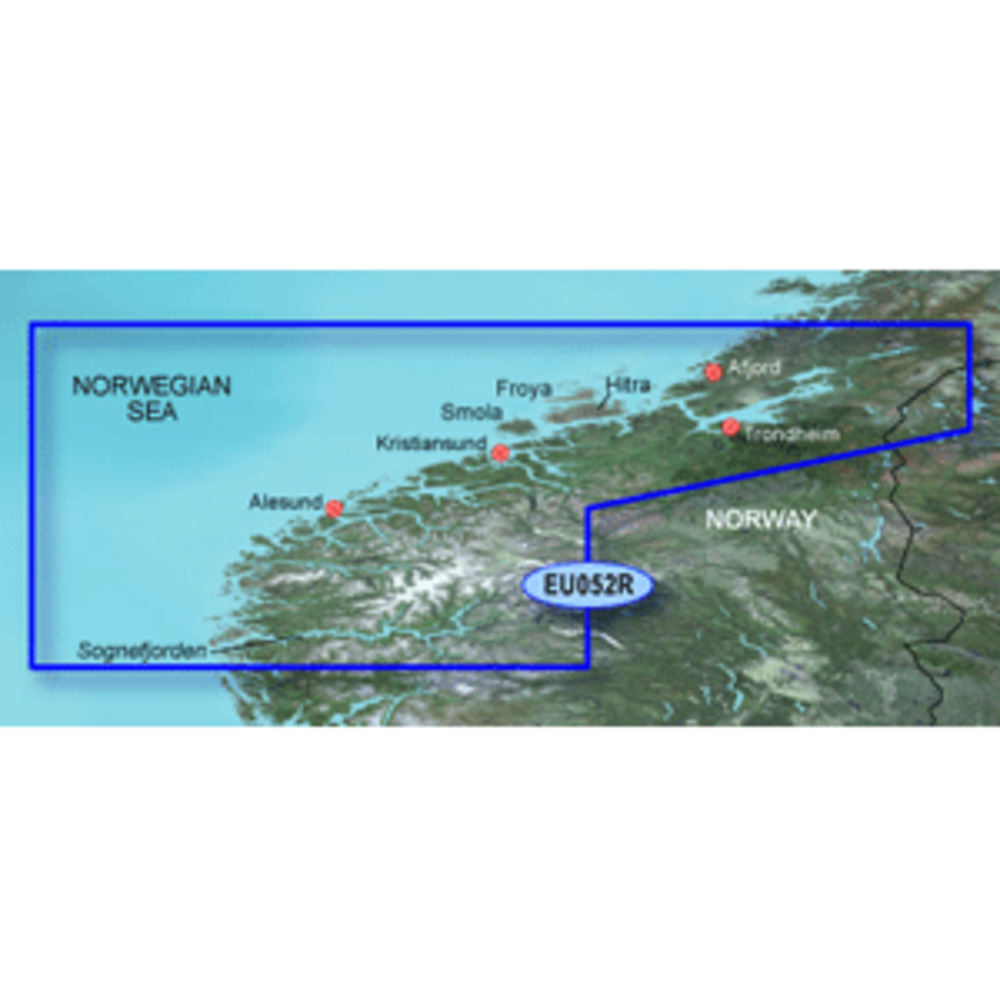
Includes detailed coverage of the Norway coast from Sognefjorden to Afjord. Also includes detailed coverage of Alesund, Kristiansund, Hitra and Trondheim.
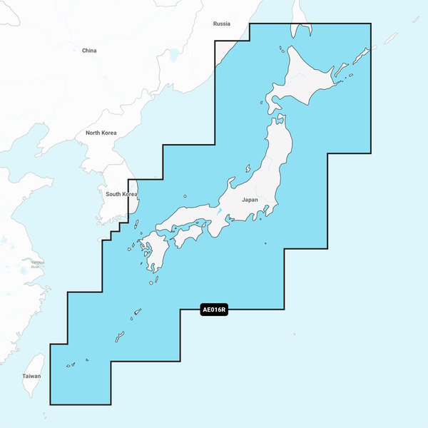
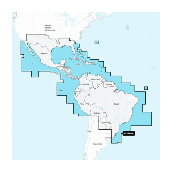
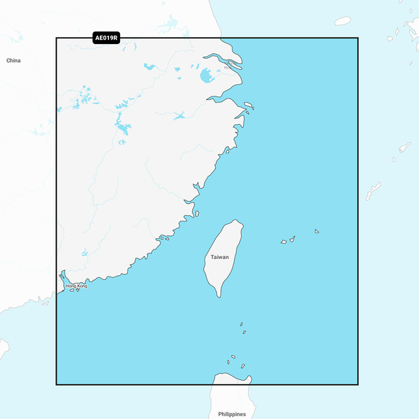
Unparalleled Coastal Chart Coverage
Provides industry-leading coverage, clarity and detail with updated coastal charts that feature integrated Garmin and Navionics® data
Auto Guidance¹ technology calculates a route using your desired depth and overhead clearance and provides a suggested path to follow
Includes Depth Range Shading for up to 10 depth ranges, enabling you to view your target depth at a glance
Up to 1’ contours provide a more accurate depiction of the bottom structure for improved fishing charts and navigation in swamps, canals and marinas
NOAA raster cartography is available as a free downloadable feature via the ActiveC
Includes detailed coverage of the Norway coast from Sognefjorden to Afjord. Also includes detailed coverage of Alesund, Kristiansund, Hitra and Trondheim.
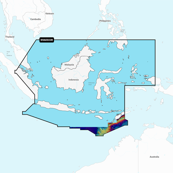
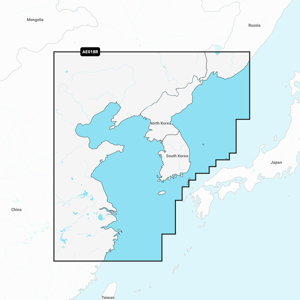
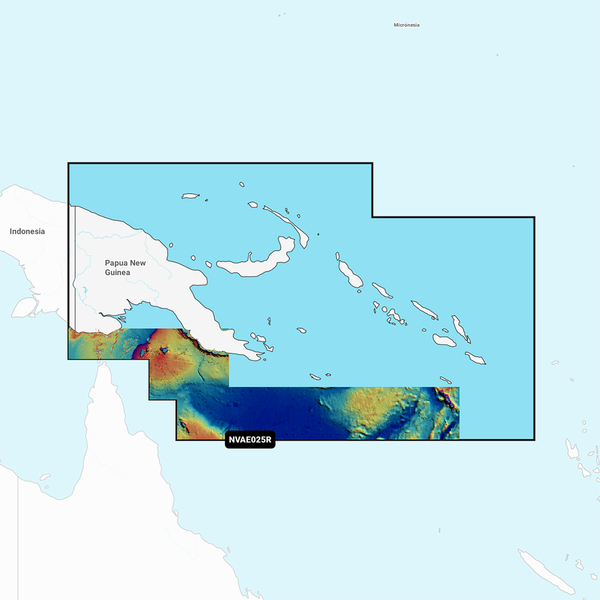
Unparalleled Coastal Chart Coverage
Provides industry-leading coverage, clarity and detail with updated coastal charts that feature integrated Garmin and Navionics® data
Auto Guidance¹ technology calculates a route using your desired depth and overhead clearance and provides a suggested path to follow
Includes Depth Range Shading for up to 10 depth ranges, enabling you to view your target depth at a glance
Up to 1’ contours provide a more accurate depiction of the bottom structure for improved fishing charts and navigation in swamps, canals and marinas
NOAA raster cartography is available as a free downloadable feature via the ActiveC