BlueChart® g3 HD - HXEU016R - Mediterranean Southeast - microSD™/SD™
Coverage:
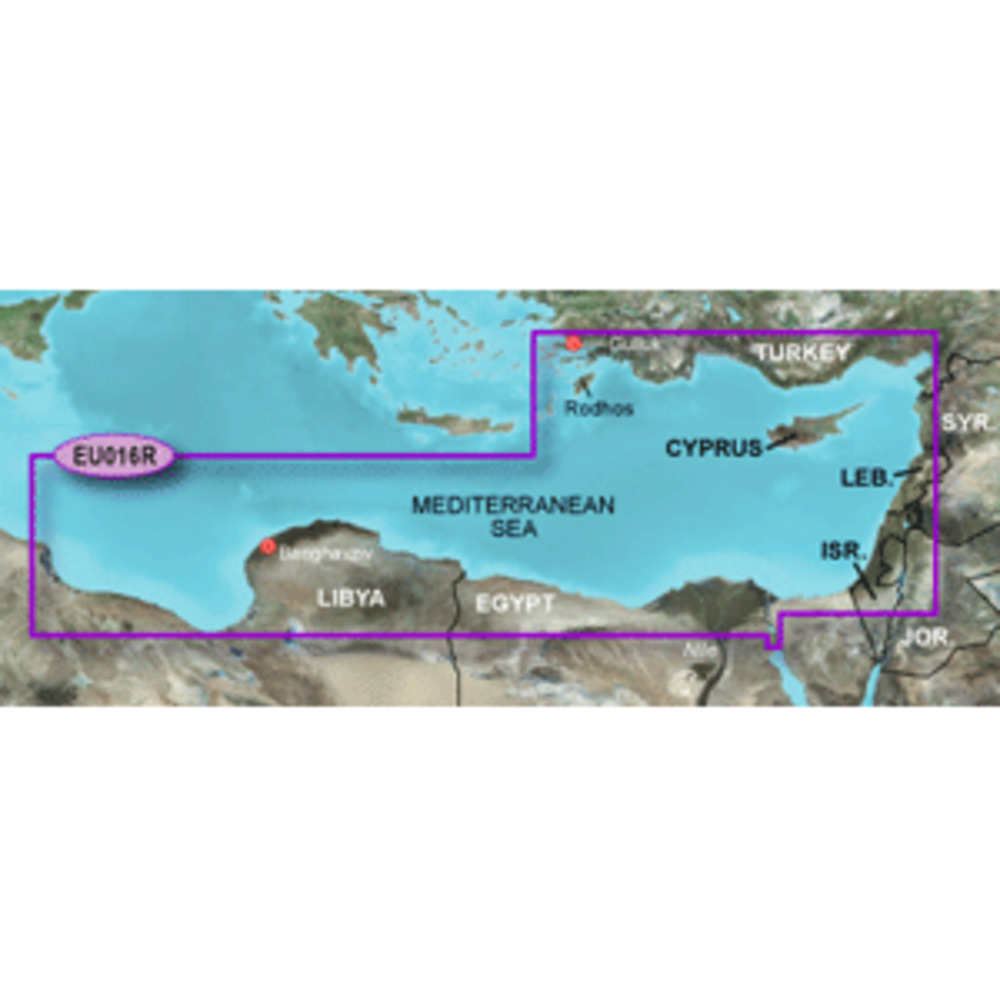
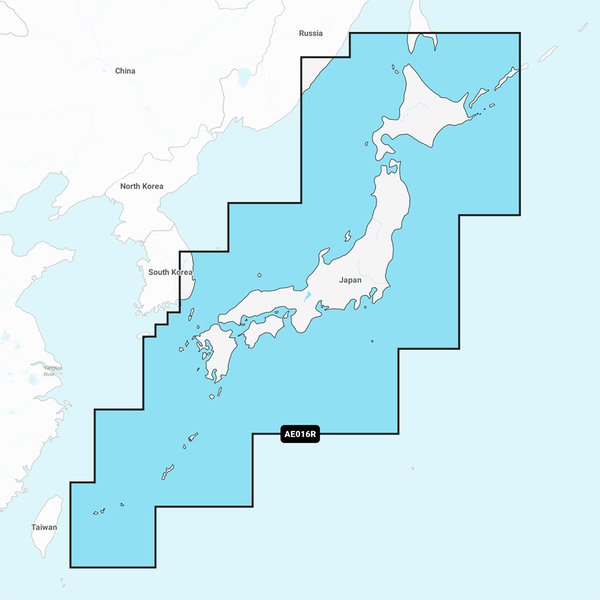
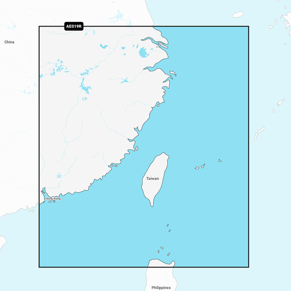
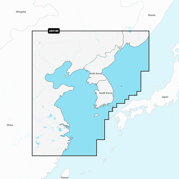
From Gulluk, Turkey east to include Cyprus, Syria, Lebanon and Israel, then west to Misratah, Libya.
Unparalleled Coastal Chart Coverage
- Provides industry-leading coverage, clarity and detail with updated coastal charts that feature integrated Garmin and Navionics® data
- Auto Guidance¹ technology calculates a route using your desired depth and overhead clearance and provides a suggested path to follow
- Includes Depth Range Shading for up to 10 depth ranges, enabling you to view your target depth at a glance
- Up to 1’ contours provide a more accurate depiction of the bottom structure for improved fishing charts and navigation in swamps, canals and marinas
- NOAA raster cartography is available as a free downloadable feature via the ActiveCaptain® app
BlueChart g3 coastal charts
Other people marked this product with these tags:
BlueChart® g3 HD - HXEU016R - Mediterranean Southeast - microSD™/SD™
Coverage:
From Gulluk, Turkey east to include Cyprus, Syria, Lebanon and Israel, then west to Misratah, Libya.
Unparalleled Coastal Chart Coverage
- Provides industry-leading coverage, clarity and detail with updated coastal charts that feature integrated Garmin and Navionics® data
- Auto Guidance¹ technology calculates a route using your desired depth and overhead clearance and provides a suggested path to follow
- Includes Depth Range Shading for up to 10 depth ranges, enabling you to view your target depth at a glance
- Up to 1’ contours provide a more accurate depiction of the bottom structure for improved fishing charts and navigation in swamps, canals and marinas
- NOAA raster cartography is available as a free downloadable feature via the ActiveCaptain® app
BlueChart g3 coastal charts
No reviews yet.
 In the midst o...